
白沙镇 topographic map
Interactive map
Click on the map to display elevation.
About this map
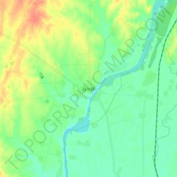
Name: 白沙镇 topographic map, elevation, terrain.
Location: 白沙镇, 孝昌县, 孝感市, 湖北省, 中国 (31.09521 113.85394 31.17521 113.93394)
Average elevation: 125 ft
Minimum elevation: 69 ft
Maximum elevation: 220 ft
Other topographic maps
Click on a map to view its topography, its elevation and its terrain.