
Mistake Island topographic map
Click on the map to display elevation.
About this map
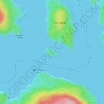
Name: Mistake Island topographic map, elevation, terrain.
Average elevation: 79 ft
Minimum elevation: -3 ft
Maximum elevation: 630 ft
Other topographic maps
Click on a map to view its topography, its elevation and its terrain.
Mayor Island
Canada > British Columbia > Regional District of Mount Waddington > Area A (Seymour Inlet/Knight Inlet)
Average elevation: 16 ft
Silverthrone Mountain
Canada > British Columbia > Regional District of Mount Waddington > Area A (Seymour Inlet/Knight Inlet)
Mount Silverthrone is perhaps one of the most heavily is perhaps one of the most heavily glaciated volcanic peaks in southwestern British Columbia. It has a topographic prominence of approximately 975 m (3,200 ft), greater than any other volcano in southwestern British Columbia. The extensive icefields around…
Average elevation: 7,536 ft