
Upper Hoh topographic map
Click on the map to display elevation.
About this map
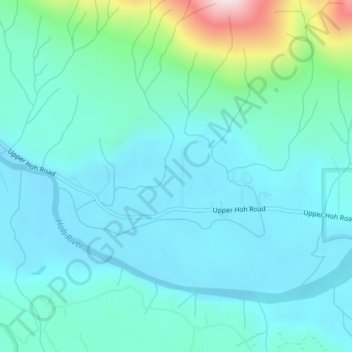
Name: Upper Hoh topographic map, elevation, terrain.
Location: Upper Hoh, Jefferson County, Washington, United States (47.81600 -124.17249 47.82260 -124.15053)
Average elevation: 528 ft
Minimum elevation: 233 ft
Maximum elevation: 1,972 ft
Jefferson County trails, hiking, mountain biking, running and outdoor activities
Other topographic maps
Click on a map to view its topography, its elevation and its terrain.
Port Townsend
United States > Washington > Jefferson County > Port Townsend > Port Townsend
Average elevation: 59 ft
Admiralty Inlet
United States > Washington > Jefferson County > Port Townsend
Average elevation: 112 ft