Geolocate

Taylor topographic map

Click on the map to display elevation.

About this map

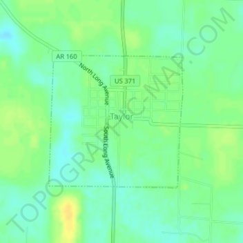
Name: Taylor topographic map, elevation, terrain.

Location: Taylor, Columbia County, Arkansas, United States (33.09242 -93.47069 33.10722 -93.45290)

Average elevation: 249 ft

Minimum elevation: 217 ft

Maximum elevation: 289 ft

Columbia County trails, hiking, mountain biking, running and outdoor activities

Other topographic maps

Click on a map to view its topography, its elevation and its terrain.

Mount Vernon

United States > Arkansas > Columbia County

Average elevation: 308 ft

Bussey

United States > Arkansas > Columbia County

Average elevation: 262 ft

Hunt

United States > Arkansas > Columbia County

Average elevation: 269 ft

Gear up for your next adventure:

📦Gear Storage Bags - Organize and protect outdoor equipment
🪑Portable Camp Table - Compact table for campsite meals
🎁Geography Themed Gifts - Unique gift ideas for map lovers and geography enthusiasts
🔋Rechargeable Batteries - Power up your outdoor devices
🚪Portable Camp Chair - Foldable chair for comfort at camp

As an Amazon Associate, this site earns from qualifying purchases at no extra cost to you.