
Hunt topographic map
Click on the map to display elevation.
About this map
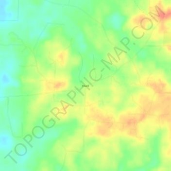
Name: Hunt topographic map, elevation, terrain.
Location: Hunt, Columbia County, Arkansas, United States (33.15819 -93.37573 33.19819 -93.33573)
Average elevation: 269 ft
Minimum elevation: 190 ft
Maximum elevation: 348 ft
Columbia County trails, hiking, mountain biking, running and outdoor activities
Other topographic maps
Click on a map to view its topography, its elevation and its terrain.