
Fowler topographic map
Click on the map to display elevation.
About this map
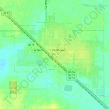
Name: Fowler topographic map, elevation, terrain.
Location: Fowler, Benton County, Indiana, United States (40.60630 -87.33788 40.62690 -87.30462)
Average elevation: 814 ft
Minimum elevation: 784 ft
Maximum elevation: 843 ft
Benton County trails, hiking, mountain biking, running and outdoor activities
Other topographic maps
Click on a map to view its topography, its elevation and its terrain.