Geolocate

Atkinson topographic map

Click on the map to display elevation.

About this map

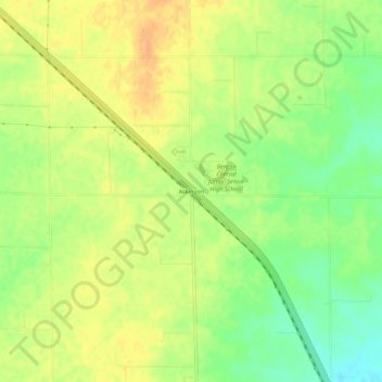
Name: Atkinson topographic map, elevation, terrain.

Location: Atkinson, Benton County, Indiana, 47971, United States (40.54282 -87.26668 40.58282 -87.22668)

Average elevation: 781 ft

Minimum elevation: 715 ft

Maximum elevation: 827 ft

Benton County trails, hiking, mountain biking, running and outdoor activities

Other topographic maps

Click on a map to view its topography, its elevation and its terrain.

Otterbein

United States > Indiana > Benton County

Average elevation: 712 ft

Oxford

United States > Indiana > Benton County

Average elevation: 745 ft

Boswell

United States > Indiana > Benton County

Average elevation: 758 ft

Earl Park

United States > Indiana > Benton County

Average elevation: 778 ft

Ambia

United States > Indiana > Benton County

Average elevation: 735 ft

Fowler

United States > Indiana > Benton County

Average elevation: 814 ft

Gear up for your next adventure:

🌡️Handheld Weather Meters - Measure wind, temp, and pressure for safe mountain travel
🌐World Map Poster - Decorative world maps with topographic info
📱Heavy-Duty Phone Cases - Drop-proof and waterproof protection for outdoor navigation
Camping Coffee Makers - Enjoy premium coffee at the summit or campsite
🪶Fire Starter Kit - Reliable fire starter for survival and camping

As an Amazon Associate, this site earns from qualifying purchases at no extra cost to you.