Geolocate

Penzberg topographic map

Click on the map to display elevation.

About this map

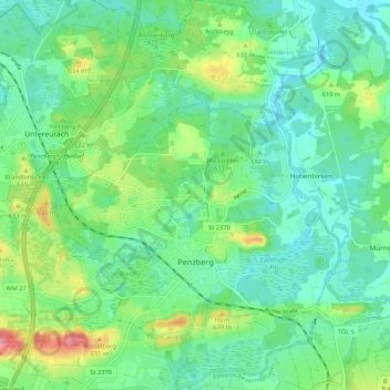
Name: Penzberg topographic map, elevation, terrain.

Location: Penzberg, Landkreis Weilheim-Schongau, Bavaria, 82377, Germany (47.72825 11.33609 47.80001 11.43041)

Average elevation: 1,988 ft

Minimum elevation: 1,896 ft

Maximum elevation: 2,218 ft

Other topographic maps

Click on a map to view its topography, its elevation and its terrain.

Dessau

Germany > Bavaria > Landkreis Weilheim-Schongau > Burggen

Average elevation: 2,457 ft

Erbenschwang

Germany > Bavaria > Landkreis Weilheim-Schongau

Average elevation: 2,552 ft

Tauting

Germany > Bavaria > Landkreis Weilheim-Schongau

Average elevation: 2,133 ft

Fischen

Germany > Bavaria > Landkreis Weilheim-Schongau

Average elevation: 1,893 ft

Gear up for your next adventure:

🛌Ultralight Sleeping Bags - Compact down bags for cold nights in the wilderness
Camping Coffee Makers - Enjoy premium coffee at the summit or campsite
🥘Titanium Cookware - Durable, featherlight pots and pans for backpacking
🧭Orienteering Set - Complete compass and map reading kit
🪶Camp Gear Gift Set - Perfect gift bundle for outdoor fans

As an Amazon Associate, this site earns from qualifying purchases at no extra cost to you.