
Hilbert topographic map
Click on the map to display elevation.
About this map
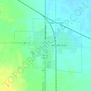
Name: Hilbert topographic map, elevation, terrain.
Location: Hilbert, Calumet County, Wisconsin, United States (44.13129 -88.17685 44.14733 -88.14890)
Average elevation: 846 ft
Minimum elevation: 820 ft
Maximum elevation: 899 ft
Calumet County trails, hiking, mountain biking, running and outdoor activities
Other topographic maps
Click on a map to view its topography, its elevation and its terrain.
Calumet County Park
United States > Wisconsin > Calumet County > Rockaway Beach
Average elevation: 843 ft