Geolocate

Shepherd's Way topographic map

Click on the map to display elevation.

About this map

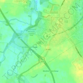
Name: Shepherd's Way topographic map, elevation, terrain.

Location: Shepherd's Way, South Trumpington, South Cambridgeshire, Cambridgeshire, Cambridgeshire and Peterborough, England, United Kingdom (52.16588 0.10263 52.16634 0.10360)

Average elevation: 52 ft

Minimum elevation: 20 ft

Maximum elevation: 79 ft

Other topographic maps

Click on a map to view its topography, its elevation and its terrain.

Gear up for your next adventure:

🩳Quick‑Dry Hiking Shorts - Comfortable and quick‑dry shorts for summer hiking
🌧️Backpack Rain Cover - Keep gear dry in wet weather
🪶Paracord Bracelet - Survival bracelet with built‑in tools
📦Gear Storage Bags - Organize and protect outdoor equipment
🌲Outdoor Survival Books - Best books on survival skills

As an Amazon Associate, this site earns from qualifying purchases at no extra cost to you.