
McClean Lake topographic map
Click on the map to display elevation.
About this map
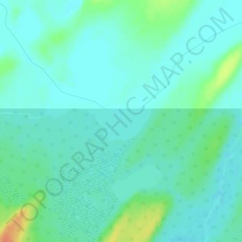
Name: McClean Lake topographic map, elevation, terrain.
Average elevation: 1,444 ft
Minimum elevation: 1,411 ft
Maximum elevation: 1,542 ft
Other topographic maps
Click on a map to view its topography, its elevation and its terrain.
Delaronde Lake
Canada > Saskatchewan > Division No. 18 > Unorganized Division No. 18
Average elevation: 1,699 ft
Churchill River
Canada > Saskatchewan > Division No. 18 > Unorganized Division No. 18
Average elevation: 1,375 ft
Read Lake
Canada > Saskatchewan > Division No. 18 > Unorganized Division No. 18
Average elevation: 1,253 ft