
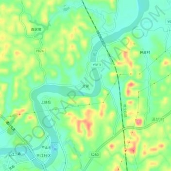
立铎 topographic map
Interactive map
Click on the map to display elevation.
About this map
Name: 立铎 topographic map, elevation, terrain.
Location: 立铎, 高州市, 茂名市, 广东省, 525200, 中国 (21.92663 110.85328 21.96663 110.89328)
Average elevation: 174 ft
Minimum elevation: 72 ft
Maximum elevation: 354 ft
Other topographic maps
Click on a map to view its topography, its elevation and its terrain.