
𡌶垌村 topographic map
Interactive map
Click on the map to display elevation.
About this map
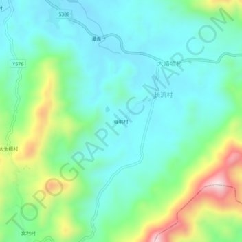
Name: 𡌶垌村 topographic map, elevation, terrain.
Location: 𡌶垌村, 高州市, 茂名市, 广东省, 中国 (21.86627 111.06338 21.90627 111.10338)
Average elevation: 614 ft
Minimum elevation: 207 ft
Maximum elevation: 1,759 ft
Other topographic maps
Click on a map to view its topography, its elevation and its terrain.