
大坪底 topographic map
Interactive map
Click on the map to display elevation.
About this map
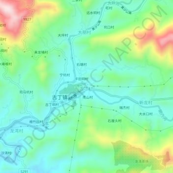
Name: 大坪底 topographic map, elevation, terrain.
Location: 大坪底, 高州市, 茂名市, 广东省, 中国 (22.13321 111.16939 22.17321 111.20939)
Average elevation: 958 ft
Minimum elevation: 551 ft
Maximum elevation: 1,975 ft
Other topographic maps
Click on a map to view its topography, its elevation and its terrain.