
Hawley Lake topographic map
Click on the map to display elevation.
About this map
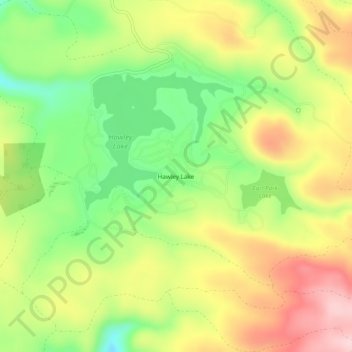
Name: Hawley Lake topographic map, elevation, terrain.
Location: Hawley Lake, Apache County, Arizona, United States (33.96394 -109.76704 34.00394 -109.72704)
Average elevation: 8,327 ft
Minimum elevation: 7,959 ft
Maximum elevation: 8,727 ft
Apache County trails, hiking, mountain biking, running and outdoor activities
Other topographic maps
Click on a map to view its topography, its elevation and its terrain.
Window Rock
United States > Arizona > Apache County
Window Rock is categorized as being within the 6a USDA hardiness zone, meaning the average annual extreme minimum temperature is between −10 and −5 °F (−23 and −21 °C). The city is cooler than most of Arizona due to its high elevation.
Average elevation: 6,837 ft