Geolocate

Barnston topographic map

Click on the map to display elevation.

About this map

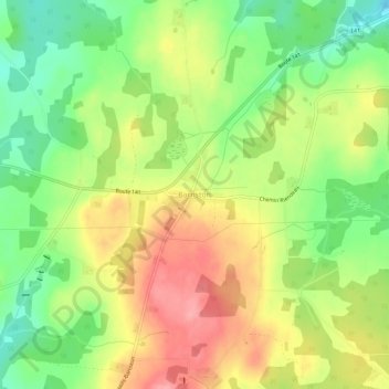
Name: Barnston topographic map, elevation, terrain.

Location: Barnston, Coaticook, Coaticook (MRC), Estrie, Quebec, Canada (45.08738 -71.90275 45.12738 -71.86275)

Average elevation: 1,371 ft

Minimum elevation: 1,201 ft

Maximum elevation: 1,555 ft

Gear up for your next adventure:

📶Satellite Messenger - Communication device off‑grid
🌲Outdoor Survival Books - Best books on survival skills
🥘Titanium Cookware - Durable, featherlight pots and pans for backpacking
🥾Hiking Shoes - Durable and comfortable shoes for trail hiking
🧭Hiking Compass - Precision compass for reliable navigation in the wilderness

As an Amazon Associate, this site earns from qualifying purchases at no extra cost to you.