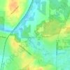
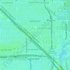
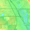
Schaumburg topographic map
Click on the map to display elevation.
Schaumburg
Schaumburg is located at 42°01′49″N 88°05′02″W / 42.03028°N 88.08389°W / 42.03028; -88.08389 (42.0302057, −88.0838750). According to the 2010 census, Schaumburg has a total area of 19.333 square miles (50.07 km2), of which 19.22 square miles (49.78 km2) (or 99.42%) is land and 0.113 square miles (0.29 km2) (or 0.58%) is water. Its elevation varies between 750 and 850 feet above sea level, with a high point of 850 feet at the intersection of Schaumburg Road and Webster Lane. Schaumburg serves as the headwaters of the West Branch Dupage River, which drains the central and western portions of the village, flowing to the southwest. The West Branch of the Salt Creek drains the eastern portion of the village, flowing eastward into Busse Lake.
About this map
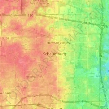
Name: Schaumburg topographic map, elevation, terrain.
Average elevation: 778 ft
Minimum elevation: 669 ft
Maximum elevation: 856 ft
Cook County trails, hiking, mountain biking, running and outdoor activities
Other topographic maps
Click on a map to view its topography, its elevation and its terrain.

Willow Springs Woods
United States > Illinois > Cook County > Willow Springs
Average elevation: 669 ft
North Pond Nature Sanctuary
United States > Illinois > Cook County > Chicago
Average elevation: 597 ft




Chicago, North Shore & Milwaukee
United States > Illinois > Cook County > Northbrook > Williamsburg Square
Average elevation: 650 ft