
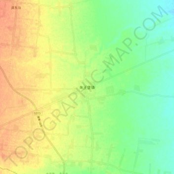
朱王堡镇 topographic map
Interactive map
Click on the map to display elevation.
About this map
Name: 朱王堡镇 topographic map, elevation, terrain.
Location: 朱王堡镇, 永昌县, 金昌市, 甘肃省, 737100, 中国 (38.17401 102.57268 38.25401 102.65268)
Average elevation: 4,879 ft
Minimum elevation: 4,813 ft
Maximum elevation: 4,941 ft
Other topographic maps
Click on a map to view its topography, its elevation and its terrain.