
南坝乡 topographic map
Interactive map
Click on the map to display elevation.
About this map
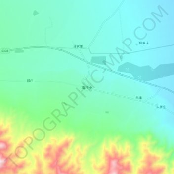
Name: 南坝乡 topographic map, elevation, terrain.
Location: 南坝乡, 永昌县, 金昌市, 甘肃省, 737100, 中国 (38.06753 102.06167 38.14753 102.14167)
Average elevation: 6,965 ft
Minimum elevation: 6,381 ft
Maximum elevation: 8,963 ft
Other topographic maps
Click on a map to view its topography, its elevation and its terrain.