
新城子镇 topographic map
Interactive map
Click on the map to display elevation.
About this map
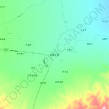
Name: 新城子镇 topographic map, elevation, terrain.
Location: 新城子镇, 永昌县, 金昌市, 甘肃省, 737100, 中国 (38.15924 101.54886 38.23924 101.62886)
Average elevation: 7,910 ft
Minimum elevation: 7,477 ft
Maximum elevation: 9,232 ft
Other topographic maps
Click on a map to view its topography, its elevation and its terrain.