Geolocate

Flin Flon topographic map

Click on the map to display elevation.

About this map

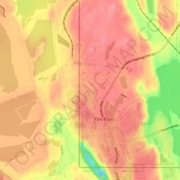
Name: Flin Flon topographic map, elevation, terrain.

Location: Flin Flon, Manitoba, Canada (54.77136 -101.88466 54.77693 -101.88076)

Average elevation: 1,070 ft

Minimum elevation: 856 ft

Maximum elevation: 1,155 ft

Gear up for your next adventure:

🥾Women's Hiking Boots - Top-rated trail boots with ankle support and superior grip
📦Gear Storage Bags - Organize and protect outdoor equipment
🔦Powerful Headlamps - Ultra-bright hands-free lighting for night navigation
🧣Merino Neck Gaiters - Multi-functional headwear for wind and sun protection
🩳Quick‑Dry Hiking Shorts - Comfortable and quick‑dry shorts for summer hiking

As an Amazon Associate, this site earns from qualifying purchases at no extra cost to you.