Geolocate

Mont Singer topographic map

Click on the map to display elevation.

About this map

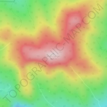
Name: Mont Singer topographic map, elevation, terrain.

Location: Mont Singer, Potton, Memphrémagog, Estrie, Quebec, Canada (45.13351 -72.45630 45.13361 -72.45620)

Average elevation: 1,978 ft

Minimum elevation: 1,270 ft

Maximum elevation: 2,625 ft

Gear up for your next adventure:

📶Satellite Messenger - Communication device off‑grid
📡GPS Antenna Upgrade - Enhance GPS reception in remote terrain
📦Gear Storage Bags - Organize and protect outdoor equipment
🧥Waterproof Jacket for Hiking - Breathable and rugged rain jacket for outdoor excursions
📻Weather Alert Radios - Stay informed of storm risks while off-the-grid

As an Amazon Associate, this site earns from qualifying purchases at no extra cost to you.