Geolocate

Villarelli topographic map

Click on the map to display elevation.

About this map

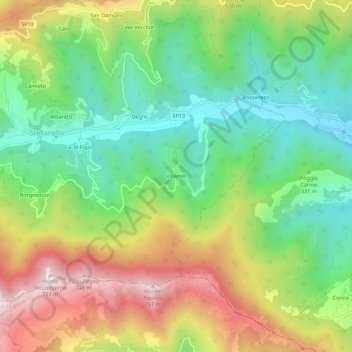
Name: Villarelli topographic map, elevation, terrain.

Location: Villarelli, Stellanello, Savona, Liguria, 17033, Italy (43.97547 8.05849 44.01547 8.09849)

Average elevation: 1,102 ft

Minimum elevation: 187 ft

Maximum elevation: 2,457 ft

Gear up for your next adventure:

🪵Folding Camp Saw - Compact saw for wood and campsite work
🛠️Backpacking Tool Kit - Essential toolkit for outdoor repairs
🥾Women's Hiking Boots - Top-rated trail boots with ankle support and superior grip
🧦Merino Wool Socks - Moisture-wicking, blister-preventing socks for long treks
🛡️Bear Spray Outdoor - Protection in bear country hikes

As an Amazon Associate, this site earns from qualifying purchases at no extra cost to you.