
铜川市 topographic map
Interactive map
Click on the map to display elevation.
About this map
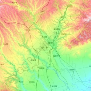
Name: 铜川市 topographic map, elevation, terrain.
Location: 铜川市, 耀州区, 铜川市, 陕西省, 中国 (34.74349 108.78618 35.06349 109.10618)
Average elevation: 2,621 ft
Minimum elevation: 1,467 ft
Maximum elevation: 4,528 ft
Other topographic maps
Click on a map to view its topography, its elevation and its terrain.