
李家堡 topographic map
Interactive map
Click on the map to display elevation.
About this map
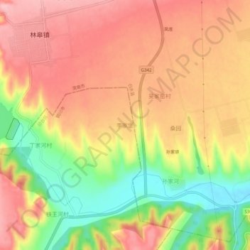
Name: 李家堡 topographic map, elevation, terrain.
Location: 李家堡, 铜川市, 陕西省, 715603, 中国 (35.14355 109.40882 35.18355 109.44882)
Average elevation: 2,900 ft
Minimum elevation: 2,575 ft
Maximum elevation: 3,123 ft
Other topographic maps
Click on a map to view its topography, its elevation and its terrain.