Geolocate

Bateman topographic map

Click on the map to display elevation.

About this map

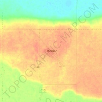
Name: Bateman topographic map, elevation, terrain.

Location: Bateman, Division No. 3, Saskatchewan, Canada (49.99012 -106.76856 50.03012 -106.72856)

Average elevation: 2,326 ft

Minimum elevation: 2,244 ft

Maximum elevation: 2,372 ft

Other topographic maps

Click on a map to view its topography, its elevation and its terrain.

Waverley No. 44

Canada > Saskatchewan > Division No. 3

Average elevation: 2,831 ft

Gear up for your next adventure:

🪄Magnetic Compass - Accurate compass for navigation
🗃️Trail First Aid Kit - Essential kit for outdoor injuries and emergencies
🔦LED Headlamp - Bright and durable LED headlamp for night navigation
Camping Coffee Makers - Enjoy premium coffee at the summit or campsite
🧯Portable Fire Pit - Compact fire pit for camping spots

As an Amazon Associate, this site earns from qualifying purchases at no extra cost to you.