Geolocate

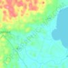
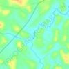
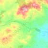
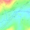
Artigarvan topographic map

Click on the map to display elevation.

About this map
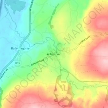
Name: Artigarvan topographic map, elevation, terrain.

Location: Artigarvan, Derry and Strabane District, County Tyrone, Northern Ireland, BT82 0HN, United Kingdom (54.83590 -7.42798 54.87590 -7.38798)

Average elevation: 243 ft

Minimum elevation: -26 ft

Maximum elevation: 561 ft

Other topographic maps

Click on a map to view its topography, its elevation and its terrain.

Mourne

United Kingdom > Northern Ireland > County Tyrone > Strabane

Average elevation: 318 ft

Eskragh

United Kingdom > Northern Ireland > County Tyrone

Average elevation: 390 ft

Creggan

United Kingdom > Northern Ireland > County Tyrone

Average elevation: 623 ft

Kildress

United Kingdom > Northern Ireland > County Tyrone > Oritor

Average elevation: 571 ft

Cappagh

United Kingdom > Northern Ireland > County Tyrone

Average elevation: 768 ft

Feddan

United Kingdom > Northern Ireland > County Tyrone

Average elevation: 246 ft

Dooish

United Kingdom > Northern Ireland > County Tyrone

Average elevation: 528 ft

Gear up for your next adventure:

👖Convertible Hiking Pants - Versatile zip-off pants for changing altitudes and temperatures
🩹Survival Bandages - High‑quality bandages for emergencies
🌡️Portable Weather Meter - Track weather conditions on the trail
🪶Multi‑Purpose Knife - Useful blade for camp and trail
🪶Survival Guide Book - Expert advice for emergency preparedness

As an Amazon Associate, this site earns from qualifying purchases at no extra cost to you.