
Joliet topographic map
Click on the map to display elevation.
About this map
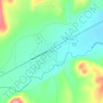
Name: Joliet topographic map, elevation, terrain.
Location: Joliet, Carbon County, Montana, 59041, United States (45.47903 -108.98161 45.49049 -108.95975)
Average elevation: 3,812 ft
Minimum elevation: 3,681 ft
Maximum elevation: 4,127 ft
Carbon County trails, hiking, mountain biking, running and outdoor activities
Other topographic maps
Click on a map to view its topography, its elevation and its terrain.