
Boyd topographic map
Click on the map to display elevation.
About this map
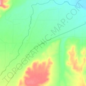
Name: Boyd topographic map, elevation, terrain.
Location: Boyd, Carbon County, Montana, 59013, United States (45.43772 -109.08654 45.47772 -109.04654)
Average elevation: 4,065 ft
Minimum elevation: 3,878 ft
Maximum elevation: 4,380 ft
Carbon County trails, hiking, mountain biking, running and outdoor activities
Other topographic maps
Click on a map to view its topography, its elevation and its terrain.