Geolocate

Nichols topographic map

Click on the map to display elevation.

About this map

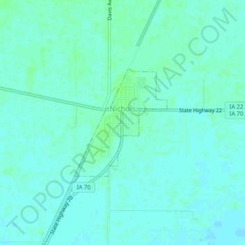
Name: Nichols topographic map, elevation, terrain.

Location: Nichols, Muscatine County, Iowa, United States (41.47376 -91.31477 41.48565 -91.30108)

Average elevation: 630 ft

Minimum elevation: 620 ft

Maximum elevation: 643 ft

Muscatine County trails, hiking, mountain biking, running and outdoor activities

Other topographic maps

Click on a map to view its topography, its elevation and its terrain.

New Era

United States > Iowa > Muscatine County

Average elevation: 682 ft

Gear up for your next adventure:

🏔️Mountain Trail Maps - High‑detail maps for popular peaks
👟Men's Trail Runners - Lightweight footwear for fast-paced exploration and light hiking
📱Solar Portable Charger - Solar power bank for charging devices off‑grid
🏕️Family Camping Gear - Essentials for group camping trips
🏫Relief Map Kits - Hands-on tools for teaching landforms and elevation

As an Amazon Associate, this site earns from qualifying purchases at no extra cost to you.