
Altamonte Springs topographic map
Click on the map to display elevation.
About this map
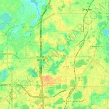
Name: Altamonte Springs topographic map, elevation, terrain.
Location: Altamonte Springs, Seminole County, Florida, United States (28.64009 -81.44340 28.68958 -81.34405)
Average elevation: 85 ft
Minimum elevation: 20 ft
Maximum elevation: 151 ft
Seminole County trails, hiking, mountain biking, running and outdoor activities
Other topographic maps
Click on a map to view its topography, its elevation and its terrain.
Econ River Wilderness Area
United States > Florida > Seminole County > Oviedo
Average elevation: 49 ft
Sanlando Springs
United States > Florida > Seminole County > Sanlando Springs
Average elevation: 82 ft