
Make a donation
Gear up for your next adventure:
As an Amazon Associate, this site earns from qualifying purchases at no extra cost to you.
Green Point Park topographic map
Click on the map to display elevation.
Make a donation
Gear up for your next adventure:
As an Amazon Associate, this site earns from qualifying purchases at no extra cost to you.
About this map
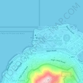
Name: Green Point Park topographic map, elevation, terrain.
Average elevation: 98 ft
Minimum elevation: 0 ft
Maximum elevation: 1,152 ft
Make a donation
Gear up for your next adventure:
As an Amazon Associate, this site earns from qualifying purchases at no extra cost to you.
Other topographic maps
Click on a map to view its topography, its elevation and its terrain.
Silvermist Estate
South Africa > Western Cape > City of Cape Town > Cape Town
Average elevation: 892 ft
Table Mountain (Maclear's beacon)
South Africa > Western Cape > City of Cape Town > Cape Town
Average elevation: 2,215 ft
Llandudno Beach
South Africa > Western Cape > City of Cape Town > Cape Town > Llandudno
Average elevation: 354 ft
Rietvlei Wetland Reserve
South Africa > Western Cape > City of Cape Town > Cape Town
Average elevation: 16 ft
Make a donation
Gear up for your next adventure:
As an Amazon Associate, this site earns from qualifying purchases at no extra cost to you.