Geolocate

Ethelbert topographic map

Click on the map to display elevation.

👉 Easily get elevation data in JSON, GeoTIFF and KML formats using Elevation API
Thank you for supporting this site ❤️
Make a donation

About this map

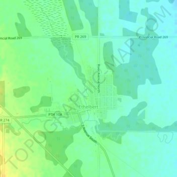
Name: Ethelbert topographic map, elevation, terrain.

Location: Ethelbert, Municipality of Ethelbert, Manitoba, Canada (51.52027 -100.40908 51.53702 -100.38678)

Average elevation: 1,122 ft

Minimum elevation: 1,093 ft

Maximum elevation: 1,165 ft

Other topographic maps

Click on a map to view its topography, its elevation and its terrain.

Garland

Canada > Manitoba > Municipality of Ethelbert

Average elevation: 1,129 ft

Gear up for your next adventure:

🥄Camping Utensil Set - Lightweight utensils for outdoor meals
📱Heavy-Duty Phone Cases - Drop-proof and waterproof protection for outdoor navigation
🥤Water Filter Bottle - All‑in‑one filter bottle for safe hydration
🥾Men's Hiking Boots - Durable, waterproof footwear for rugged terrain and steep inclines
🏕️Tent Footprint - Protect your tent base from wear

As an Amazon Associate, this site earns from qualifying purchases at no extra cost to you.