Geolocate

Axle topographic map

Click on the map to display elevation.

About this map

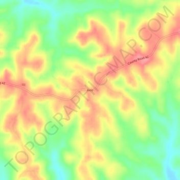
Name: Axle topographic map, elevation, terrain.

Location: Axle, Monroe County, Alabama, United States (31.57572 -87.34971 31.61572 -87.30971)

Average elevation: 305 ft

Minimum elevation: 157 ft

Maximum elevation: 430 ft

Other topographic maps

Click on a map to view its topography, its elevation and its terrain.

Monroeville

United States > Alabama > Monroe County

Average elevation: 358 ft

Monroeville

United States > Alabama > Monroe County

Average elevation: 351 ft

Gear up for your next adventure:

GPS Sports Watch - GPS watch for running, hiking and training
🔭Telescopic Hiking Pole - Adjustable pole for hiking stability
🎒Hydration Pack - Hands‑free water reservoir for long hikes
🛏️Cold Weather Sleeping Bag - Warm sleeping bag for cold conditions
😴Insulated Sleeping Pads - Compact and warm pads for high-elevation camping

As an Amazon Associate, this site earns from qualifying purchases at no extra cost to you.