
Mullaghcarn topographic map
Click on the map to display elevation.
About this map
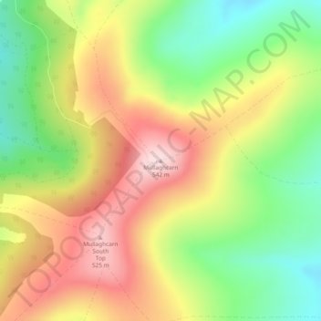
Name: Mullaghcarn topographic map, elevation, terrain.
Average elevation: 1,266 ft
Minimum elevation: 794 ft
Maximum elevation: 1,762 ft
Other topographic maps
Click on a map to view its topography, its elevation and its terrain.
Castlecaufield
United Kingdom > Northern Ireland > County Tyrone > Castlecaulfield
Average elevation: 312 ft
Derry and Strabane District
United Kingdom > Northern Ireland > County Tyrone
Average elevation: 459 ft
Errigal Keerogue
United Kingdom > Northern Ireland > County Tyrone > Ballygawley
Average elevation: 489 ft
Ballyard
United Kingdom > Northern Ireland > County Tyrone > Trillick > Ballyard
Average elevation: 463 ft