
老虎山 topographic map
Interactive map
Click on the map to display elevation.
About this map
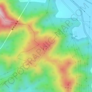
Name: 老虎山 topographic map, elevation, terrain.
Location: 老虎山, 舟山市, 浙江省, 中国 (30.02773 122.26066 30.02783 122.26076)
Average elevation: 492 ft
Minimum elevation: 0 ft
Maximum elevation: 1,368 ft
Other topographic maps
Click on a map to view its topography, its elevation and its terrain.