
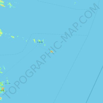
东福山岛 topographic map
Interactive map
Click on the map to display elevation.
About this map
Name: 东福山岛 topographic map, elevation, terrain.
Location: 东福山岛, 舟山市, 浙江省, 中国 (29.81518 122.44532 30.45518 123.08532)
Average elevation: 3 ft
Minimum elevation: 0 ft
Maximum elevation: 1,168 ft
Other topographic maps
Click on a map to view its topography, its elevation and its terrain.