Geolocate

庙子湖岛 topographic map

Interactive map

Click on the map to display elevation.

About this map

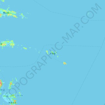
Name: 庙子湖岛 topographic map, elevation, terrain.

Location: 庙子湖岛, 舟山市, 浙江省, 中国 (29.88014 122.36008 30.52014 123.00008)

Average elevation: 7 ft

Minimum elevation: -3 ft

Maximum elevation: 1,375 ft

Other topographic maps

Click on a map to view its topography, its elevation and its terrain.

东福山岛

中国 > 浙江省 > 舟山市

东福山岛, 舟山市, 浙江省, 中国

Average elevation: 3 ft

孙家老屋里

中国 > 浙江省 > 舟山市

孙家老屋里, 舟山市, 浙江省, 中国

Average elevation: 328 ft

老虎山

中国 > 浙江省 > 舟山市

老虎山, 舟山市, 浙江省, 中国

Average elevation: 492 ft

嵊山岛

中国 > 浙江省 > 舟山市

嵊山岛, 嵊泗县, 舟山市, 浙江省, 中国

Average elevation: 72 ft

沈家门街道

中国 > 浙江省 > 舟山市 > 沈家门街道

沈家门街道, 普陀区, 舟山市, 浙江省, 中国

Average elevation: 49 ft

佛顶山

中国 > 浙江省 > 舟山市

佛顶山, 舟山市, 浙江省, 中国

Average elevation: 174 ft

金塘岛

中国 > 浙江省 > 舟山市

金塘岛, 定海区, 舟山市, 浙江省, 中国

Average elevation: 85 ft

册子岛

中国 > 浙江省 > 舟山市

册子岛, 舟山市, 浙江省, 中国

Average elevation: 62 ft