Geolocate

Utopia topographic map

Click on the map to display elevation.

About this map

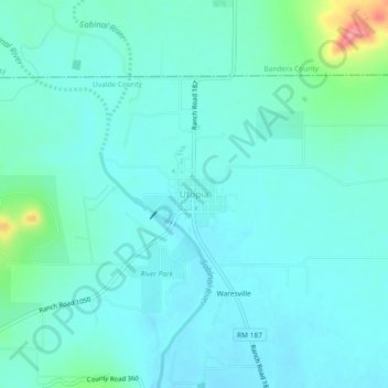
Name: Utopia topographic map, elevation, terrain.

Location: Utopia, Uvalde County, Texas, 78884, United States (29.59523 -99.54699 29.63523 -99.50699)

Average elevation: 1,388 ft

Minimum elevation: 1,329 ft

Maximum elevation: 1,686 ft

Uvalde County trails, hiking, mountain biking, running and outdoor activities

Other topographic maps

Click on a map to view its topography, its elevation and its terrain.

Garner State Park

United States > Texas > Uvalde County > Concan

Average elevation: 1,496 ft

Garner State Park

United States > Texas > Uvalde County > Concan

Average elevation: 1,496 ft

Gear up for your next adventure:

🎒Trail Energy Bars - High‑calorie bars for hiking energy
🔊Portable Camp Speaker - Music and alerts at camp
🌲Outdoor Survival Books - Best books on survival skills
🧭GPS Watch Accessories - Bands and chargers for GPS watches
🦶Hiking Gaiters - Keep debris and water out of your boots

As an Amazon Associate, this site earns from qualifying purchases at no extra cost to you.