
城关街道 topographic map
Interactive map
Click on the map to display elevation.
About this map
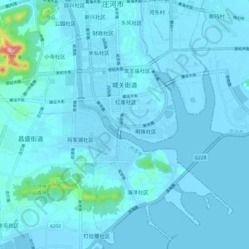
Name: 城关街道 topographic map, elevation, terrain.
Location: 城关街道, 庄河市, 大连市, 辽宁省, 116400, 中国 (39.63009 122.95464 39.69819 123.01356)
Average elevation: 39 ft
Minimum elevation: -20 ft
Maximum elevation: 794 ft
Other topographic maps
Click on a map to view its topography, its elevation and its terrain.