Geolocate

Elphinstone topographic map

Click on the map to display elevation.

About this map

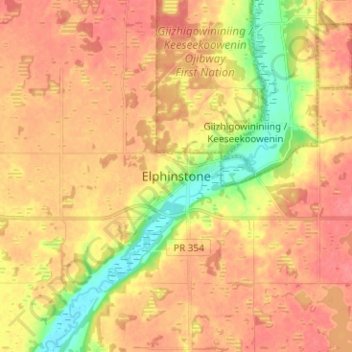
Name: Elphinstone topographic map, elevation, terrain.

Location: Elphinstone, Rural Municipality of Yellowhead, Division No. 15, Manitoba, Canada (50.49035 -100.36825 50.57035 -100.28825)

Average elevation: 1,913 ft

Minimum elevation: 1,785 ft

Maximum elevation: 1,985 ft

Other topographic maps

Click on a map to view its topography, its elevation and its terrain.

Gear up for your next adventure:

🧭Outdoor Navigation Book - Learn advanced navigation skills
🛠️Outdoor Gear Repair Kit - Essential tools to fix gear on the trail
🪶Survival Guide Book - Expert advice for emergency preparedness
🏕️Tent Footprint - Protect your tent base from wear
🌄Hiking Binoculars - Compact binoculars for scenic views and trail spotting

As an Amazon Associate, this site earns from qualifying purchases at no extra cost to you.