Geolocate

Christie topographic map

Interactive map

Click on the map to display elevation.

About this map

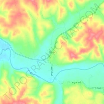
Name: Christie topographic map, elevation, terrain.

Location: Christie, Adair County, Oklahoma, United States (35.93814 -94.71023 35.97814 -94.67023)

Average elevation: 928 ft

Minimum elevation: 794 ft

Maximum elevation: 1,083 ft

Other topographic maps

Click on a map to view its topography, its elevation and its terrain.

Stilwell

United States > Oklahoma > Adair County

Stilwell, Adair County, Oklahoma, 74960, United States

Average elevation: 1,155 ft

Proctor

United States > Oklahoma > Adair County

Proctor, Adair County, Oklahoma, United States

Average elevation: 892 ft

Baron

United States > Oklahoma > Adair County

Baron, Adair County, Oklahoma, United States

Average elevation: 971 ft

Cherry Tree

United States > Oklahoma > Adair County

Cherry Tree, Adair County, Oklahoma, United States

Average elevation: 1,096 ft