Geolocate

Alexander topographic map

Click on the map to display elevation.

About this map

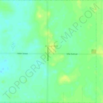
Name: Alexander topographic map, elevation, terrain.

Location: Alexander, Franklin County, Iowa, United States (42.78914 -93.49874 42.81964 -93.45858)

Average elevation: 1,247 ft

Minimum elevation: 1,220 ft

Maximum elevation: 1,276 ft

Franklin County trails, hiking, mountain biking, running and outdoor activities

Other topographic maps

Click on a map to view its topography, its elevation and its terrain.

Chapin

United States > Iowa > Franklin County

Average elevation: 1,135 ft

Bradford

United States > Iowa > Franklin County

Average elevation: 1,240 ft

Gear up for your next adventure:

🪑Portable Camp Table - Compact table for campsite meals
🔭Telescopic Hiking Pole - Adjustable pole for hiking stability
🌐World Map Poster - Decorative world maps with topographic info
🩹Survival Bandages - High‑quality bandages for emergencies
😴Insulated Sleeping Pads - Compact and warm pads for high-elevation camping

As an Amazon Associate, this site earns from qualifying purchases at no extra cost to you.