
Jelsa topographic map
Click on the map to display elevation.
About this map
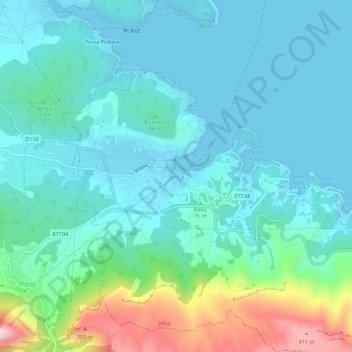
Name: Jelsa topographic map, elevation, terrain.
Location: Jelsa, Općina Jelsa, Split-Dalmatia County, 21465, Croatia (43.14081 16.67314 43.18081 16.71314)
Average elevation: 285 ft
Minimum elevation: 0 ft
Maximum elevation: 1,473 ft