Geolocate

First Canyon topographic map

Click on the map to display elevation.

About this map

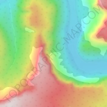
Name: First Canyon topographic map, elevation, terrain.

Location: First Canyon, Dehcho Region, Northwest Territories, Canada (61.28371 -124.12934 61.28381 -124.12924)

Average elevation: 1,795 ft

Minimum elevation: 751 ft

Maximum elevation: 3,146 ft

Other topographic maps

Click on a map to view its topography, its elevation and its terrain.

Wrigley

Canada > Northwest Territories > Dehcho Region

Average elevation: 522 ft

Sambaa K'e

Canada > Northwest Territories > Dehcho Region > Sambaa K'e

Average elevation: 1,663 ft

Gear up for your next adventure:

📚Navigation Handbooks - Master the art of reading topographic maps and using a compass
🥘Titanium Cookware - Durable, featherlight pots and pans for backpacking
🪑Portable Camp Table - Compact table for campsite meals
🥇GPS Hiking Watch - Multi‑sport GPS watch with navigation and trail tracking
🔭Stargazing Telescopes - Perfect for camping in low-light pollution areas shown on maps

As an Amazon Associate, this site earns from qualifying purchases at no extra cost to you.