Geolocate

Poncha Pass topographic map

Click on the map to display elevation.

About this map

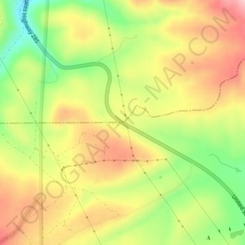
Name: Poncha Pass topographic map, elevation, terrain.

Location: Poncha Pass, Saguache County, Colorado, United States (38.42217 -106.08816 38.42227 -106.08806)

Average elevation: 9,016 ft

Minimum elevation: 8,694 ft

Maximum elevation: 9,295 ft

Saguache County trails, hiking, mountain biking, running and outdoor activities

Other topographic maps

Click on a map to view its topography, its elevation and its terrain.

Center

United States > Colorado > Saguache County

Average elevation: 7,648 ft

Continental Divide

United States > Colorado > Saguache County

Average elevation: 11,854 ft

Bonanza

United States > Colorado > Saguache County

Average elevation: 9,974 ft

Gear up for your next adventure:

🥾Men's Hiking Boots - Durable, waterproof footwear for rugged terrain and steep inclines
🪶Survival Guide Book - Expert advice for emergency preparedness
🛡️Bear Spray Outdoor - Protection in bear country hikes
📱Heavy-Duty Phone Cases - Drop-proof and waterproof protection for outdoor navigation
🔊Portable Camp Speaker - Music and alerts at camp

As an Amazon Associate, this site earns from qualifying purchases at no extra cost to you.