Geolocate

Center topographic map

Click on the map to display elevation.

About this map

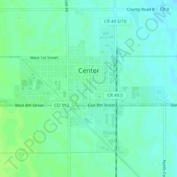
Name: Center topographic map, elevation, terrain.

Location: Center, Saguache County, Colorado, 81125, United States (37.74128 -106.12452 37.76019 -106.10032)

Average elevation: 7,648 ft

Minimum elevation: 7,631 ft

Maximum elevation: 7,664 ft

Saguache County trails, hiking, mountain biking, running and outdoor activities

Other topographic maps

Click on a map to view its topography, its elevation and its terrain.

Liberty

United States > Colorado > Saguache County

Average elevation: 8,573 ft

Poncha Pass

United States > Colorado > Saguache County

Average elevation: 9,016 ft

Sargents Mesa

United States > Colorado > Saguache County

Average elevation: 11,365 ft

Gear up for your next adventure:

🔊Portable Camp Speaker - Music and alerts at camp
🎒Gear Packing Cubes - Organize your backpack efficiently
📻Weather Alert Radios - Stay informed of storm risks while off-the-grid
🖼️Topo Map Wall Art - Decorative topographic prints of famous peaks and regions
🪑Ultralight Camp Chairs - Portable seating for resting after a long day of mapping

As an Amazon Associate, this site earns from qualifying purchases at no extra cost to you.