Geolocate

Mount Pleasant topographic map

Click on the map to display elevation.

About this map

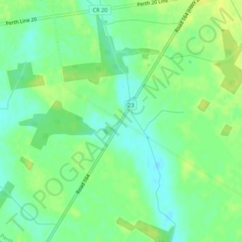
Name: Mount Pleasant topographic map, elevation, terrain.

Location: Mount Pleasant, West Perth, Perth County, Ontario, Canada (43.36176 -81.28362 43.38176 -81.26362)

Average elevation: 1,076 ft

Minimum elevation: 1,043 ft

Maximum elevation: 1,109 ft

Gear up for your next adventure:

🔭Stargazing Telescopes - Perfect for camping in low-light pollution areas shown on maps
🌲Outdoor Survival Books - Best books on survival skills
🪶Survival Guide Book - Expert advice for emergency preparedness
🥾Hiking Shoes - Durable and comfortable shoes for trail hiking
🦶Carbon Trekking Poles - Reduce knee impact on steep descents with ultra-light poles

As an Amazon Associate, this site earns from qualifying purchases at no extra cost to you.