
New Era topographic map
Click on the map to display elevation.
About this map
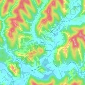
Name: New Era topographic map, elevation, terrain.
Location: New Era, Jackson County, West Virginia, 25275, United States (38.88953 -81.68374 38.92953 -81.64374)
Average elevation: 715 ft
Minimum elevation: 571 ft
Maximum elevation: 984 ft
Jackson County trails, hiking, mountain biking, running and outdoor activities
Other topographic maps
Click on a map to view its topography, its elevation and its terrain.