
Center Point topographic map
Click on the map to display elevation.
About this map
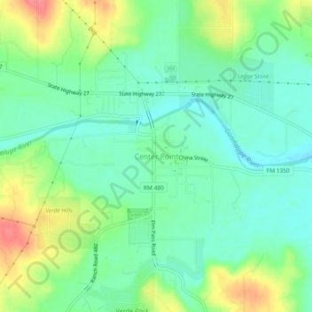
Name: Center Point topographic map, elevation, terrain.
Location: Center Point, Kerr County, Texas, United States (29.92226 -99.05688 29.96226 -99.01688)
Average elevation: 1,545 ft
Minimum elevation: 1,463 ft
Maximum elevation: 1,703 ft
Kerr County trails, hiking, mountain biking, running and outdoor activities
Other topographic maps
Click on a map to view its topography, its elevation and its terrain.